History of Housing Structures in Cambridge
A view of the history of Cambridge homes, showing example homes, maps of where they were built. September 27th, 2020
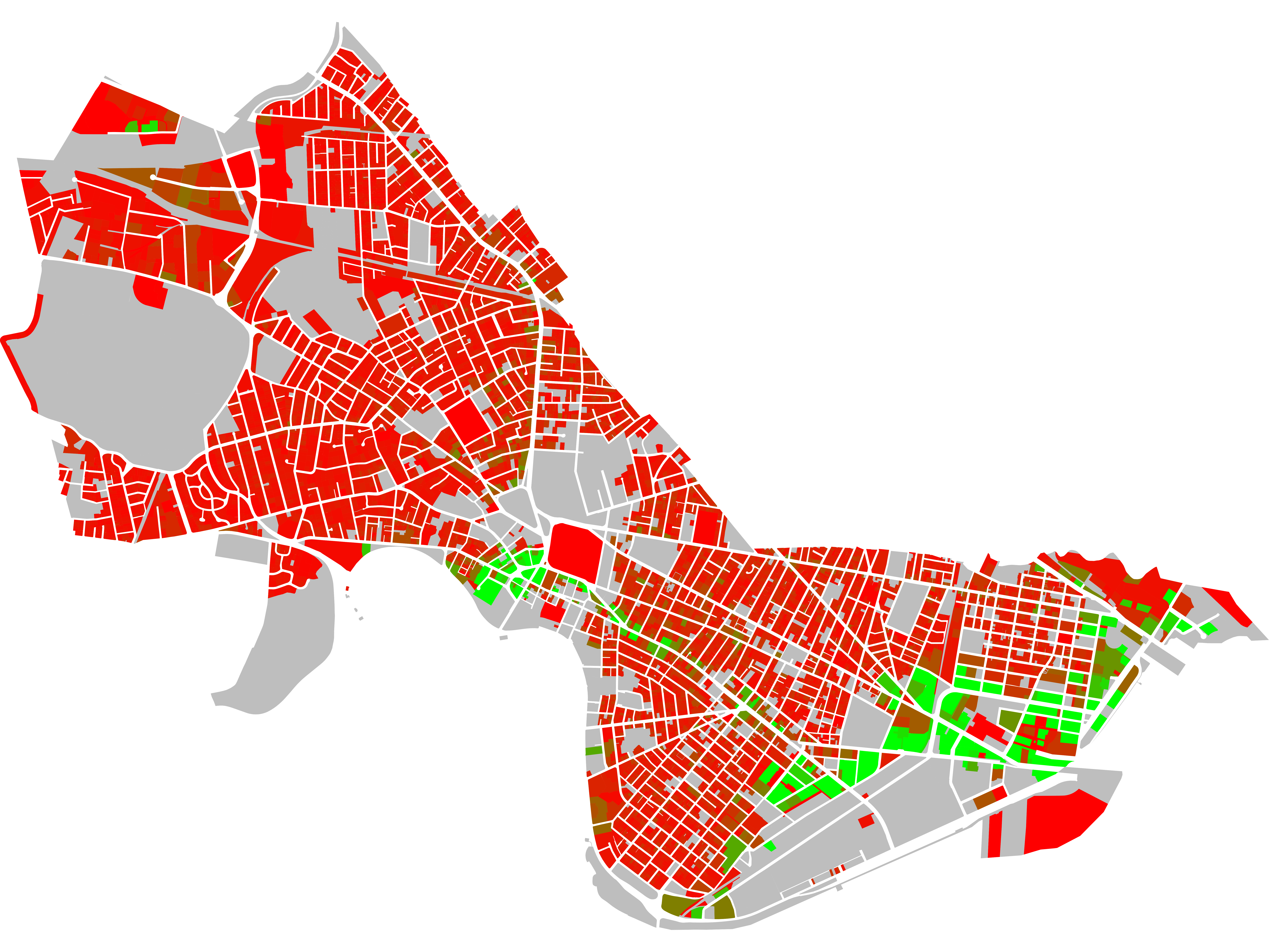
Age of Built Structures in Cambridge
A view of the age of built structures in Cambridge. August 18th, 2020
Per-Parcel Tax Contribution
The value of each parcel -- and therefore its contribution to taxes in Cambridge, varies significantly.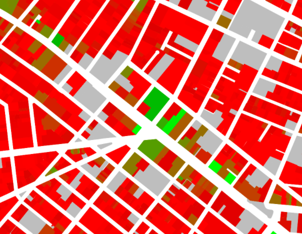
- Tax Valuation scaled to a cap of $1M per parcel (PNG, 3.8MB)
- Tax Valuation scaled to a cap of $500k per parcel (PNG, 3.9MB)
- Tax Valuation scaled to a cap of $500k per parcel (PNG, 4.0MB)
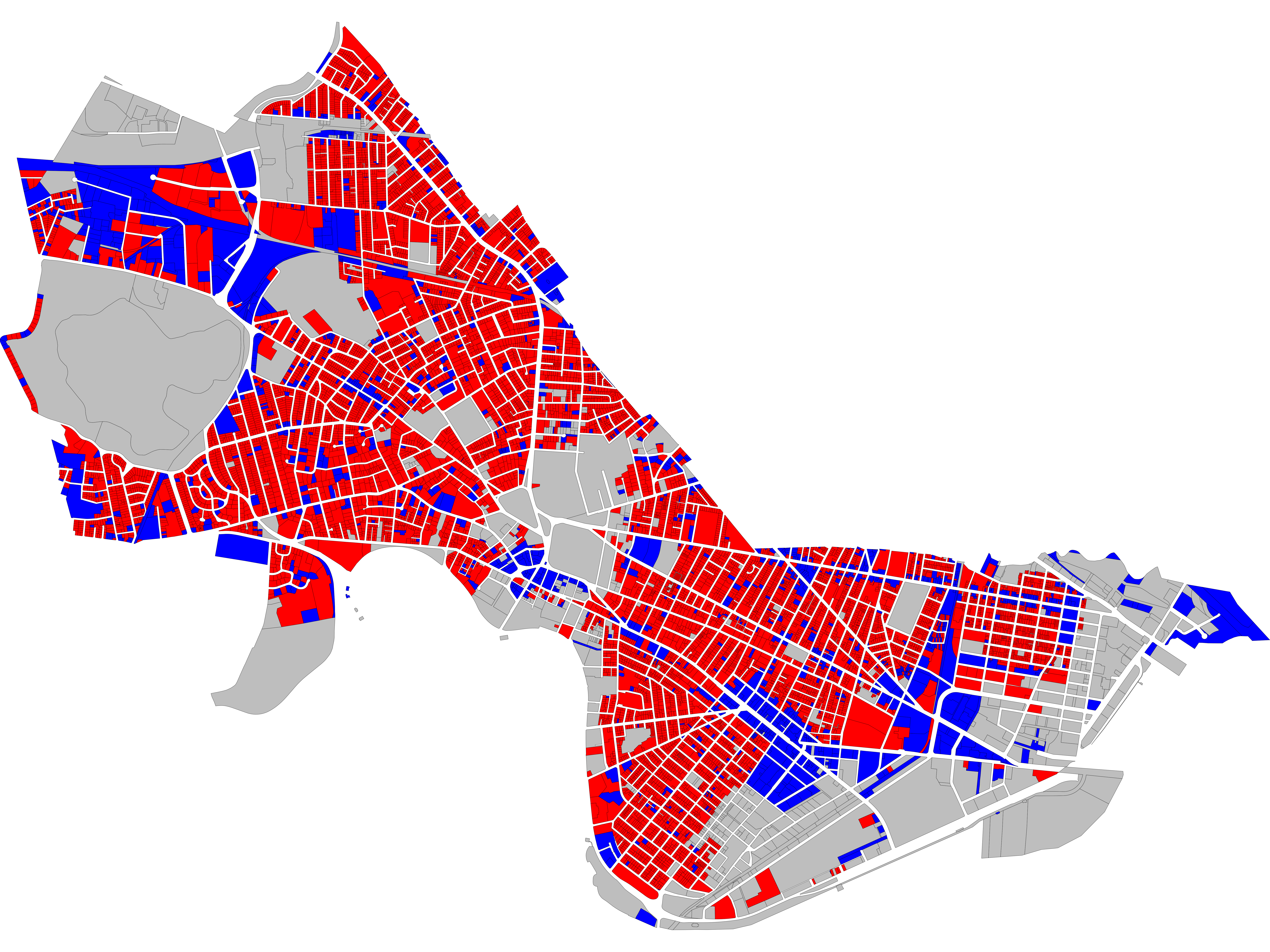
Conforming Parcels
Map of parcels in Cambridge, along with its status as a conforoming or non-conforming parcel -- that is, whether it would be allowed without special permission under the rules that apply today. Red means non-conforming; blue means conforming.
- Full size map (PNG, 6MB)
Height Map
Showing the height of all buildings in Cambridge; buildings taller than 40' are displayed in pink.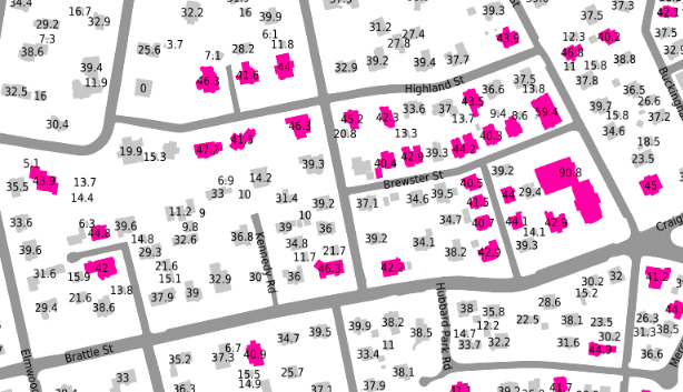 November 15, 2019
Setbacks Map
A map showing the minimum setbacks required on each lot in Cambridge. This is only an estimate: it uses imperfect height data, does not use length data, and computes only the *minimum* setback (usually the side setback) for each zone, rather than an accurate front/rear setback, which are often significantly larger.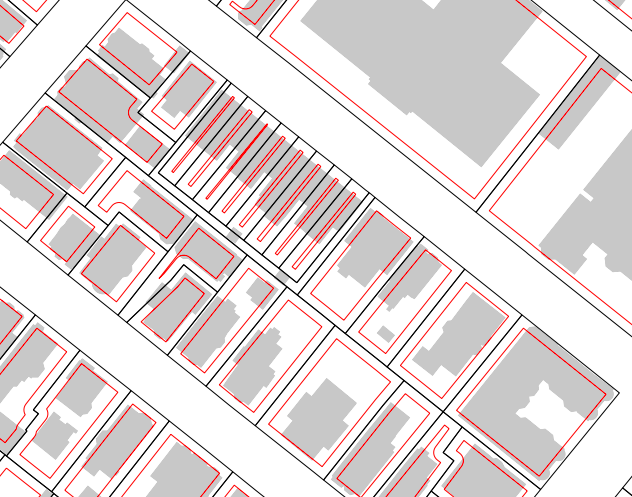
- Setbacks Map (draggable)